The Southern Cambria was an electric Railway system that operated from about 1900 till 1926 between Ebensburg (The County Seat of Cambria County Pennsylvania), Nanty-Glo (A Borough in the center of the County on US 22, it was the center of the Coal industry in Cambria County) and Johnstown (the largest City in Cambria County). When Pennsylvania built its Canal in the 1830s to compete with the Erie Canal, some way had to be found to connect the two ends of the Canal, which was separated by Allegheny Mountain. Allegheny Mountain is the Eastern Continental divide thus they was NO water route through the Mountain. Given the technology of the time period it was decided to run a series of incline Planes over the Mountain, but to do so it required the quickest way between the Juanita River on the Eastern Side of Allegheny Mountain and the Conemaugh River on the Western Side. This missed Ebensburg by over three miles. The Pennsylvania Railroad which replaced the Canal followed the same route for th e same reason, the lowest level of climb to get over Allegheny Mountain.
This left the County Seat (Ebensburg) cut off from the main population center of the County (Johnstown). Efforts to move the county seat to Johnstown failed for Johnstown is in the Southern Most part of Cambria County so if the County Seat was moved the people in the Northern part of the County would have to travel over 50 miles to get to Johnstown (When the main means of transportation was walking). The Pennsylvania Railroad did build a railroad line to Ebensburg but then headed that line to Nanty-Glo and then down Blacklick Creek to Indiana County along the coal mines that operated in the Nanty-Glo-Indiana County area. After this track was put in you could take the five miles to Gallizin when the Ebensburg Line connected with the Main line and then the 25 miles to Johnstown.
In the 1908 this was seen to be a problem. Johnstown was still booming and a quicker connection to Ebensburg was seen as needed. This was the time the Electric Interurban car was coming in, the Electric Interurban car was a heavier than normal "StreetCar" that was design to operate mostly on its own right of way. Electric Interurbans had two huge advantages over Steam Locomotives, Electric Drives can put more power to the wheels so can go pick up speed quicker than a Steam Locomotive (and thus have more frequent stops AND go up grades better and quicker), and the Electric drive did not need the almost perfect track a Steam Locomotive needed. An additional factor was that since the track did not have to be as perfect as a Steam railroad, the tracks could be laid cheaper, and given the hostility people had to the monopoly mot railroads exercised at that time, many a local municipality were willing to help set up a Electric interurban line to provide competition to the Steam Locomotive lines of the time period. Thus was born the "Southern Cambria Railway".
Given that the Pennsylvania Railroad did not like Competition the Southern Cambria had to work around the fact the Pennsylvania Railway would provide it no help (Through the Pennsylvanian was NOT about to stop any shipment for to to the Southern Cambria given overall hostility to the Railroads of the Time Period, they was talk of Nationalization of the Railroad during this time period and any stop shipments would have given people the justification to take over the Railroads something the Pennsylvanian did not want even more then the Pennsylvanian did not want Competition).
Given the above the Southern Cambria was quickly built, but to minimized costs along the hillsides overlooking the Pennsylvania Railroad which owned the whole valley of the Little Conemaugh River. This was often a single track system with cars running in both directions controlled by signals. Thus the traveler on the line could look done a cliff-side on one side and up a hillside of the other with parts of the Interurban car stretching over the edge of the right of way hanging right over the cliff-side. This was NOT a amusement park ride, but a means of transportation.
Anyway the Line built its one track system between Mineral Point and Johnstown and from Mineral Point (or more actually Brookdale) along the hillside to South Fork, or up Allegheny Mountain to Ebensburg. This line would end up killing the line. In 1916 the Railway issued bonds to raise the money to pay the victims, in 1928 those bonds became due and with no money to pay them the line closed up.
Now, while the line was closed in 1928, various townships in the area maintained the right of ways for decades after-wards so that locals could drive their cars down these right of ways (One old attorney told me he handled a case involving a local Township and an auto accident that was blamed on the township's careless maintenance when he started to practice law in the 1950s). Thus while the lien was closed down in 1928, people used them till at least the 1950s.
For more on the 1916 Accident:
http://www.rootsweb.com/~pacambri/news/1916UNK.htmlA picture of the Accident that would kill this line:
 http://members.aol.com/GoughnourD/Death.html
More old Pictures of this line:
 http://www.davesrailpix.com/odds/pa/htm/scam01.htm
 http://www.nantyglo.com/postcards04/dec1204.htm
Now for the Pictures as the Trail is today.
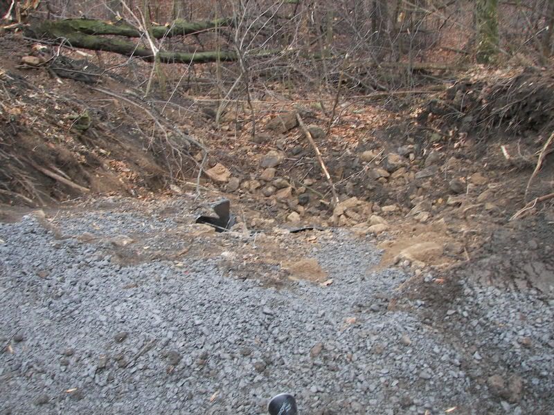
First the part of the line between Mineral Point and South Fork is has been bulldozed.


If you turn around from the above bulldozed section of the old rail line, you can see where the line continued through the town of Mineral Point:

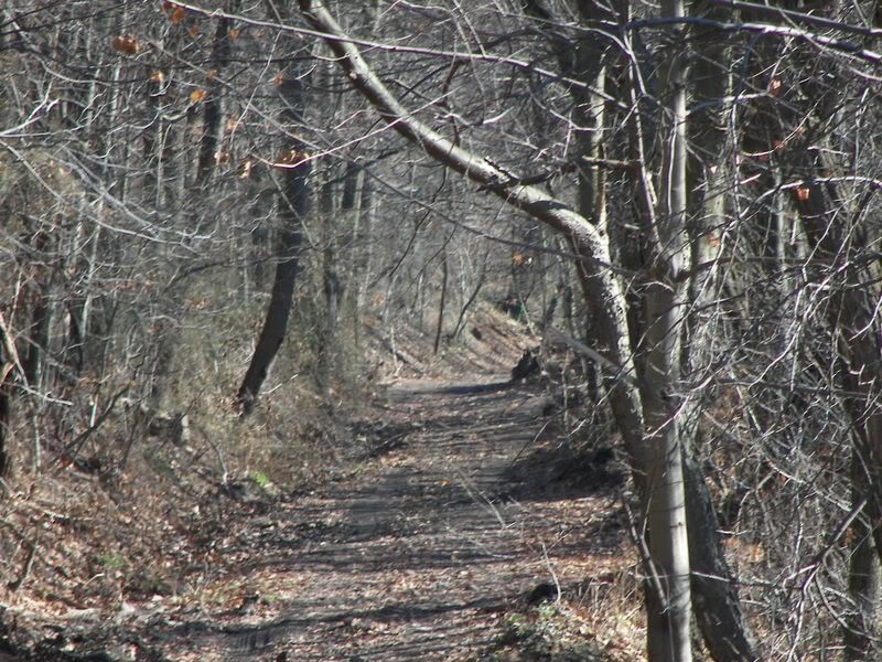
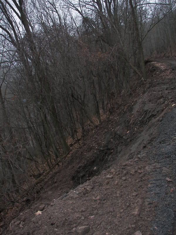
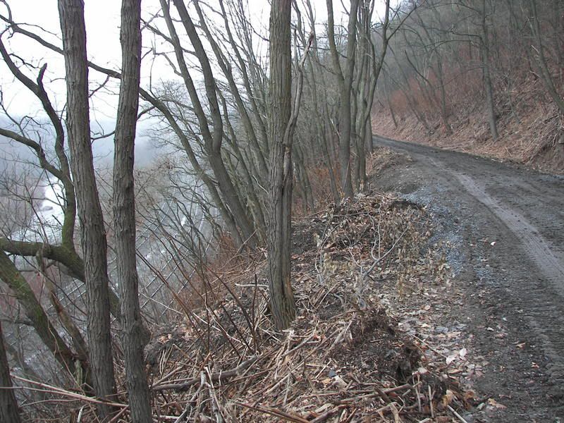
Here is a side view of the old rail bank:

This is NOT yet open to the public, but will be part of a proposed trail from South Fork to Johnstown (which is hoped to connect to the West Penn Trail and thus to Pittsburgh).
The present Plan is to build a bike trail from Franklin Borough to the Staple Bend Tunnel (which is completed to Mineral Point), and then from Mineral Point to South Fork. Now from Franklin Borough you can go on some low traffic roads through Johnstown (Which was set up in the Conemaugh Valley before Automobile were invented so the roads follow the river instead of going up and down the mountainsides). You can take PA 56 to PA 711 and then along 711 till you get to Seward. Now Seward is the big block at the present time. There is NO existing road you can follow. You can follow an old abandoned railroad line through State Game Lands to the Town of Lock Port but then you have to design a way through the lower Conemaugh Gap to Blairsville (Where you can pick up the West Penn Trail).
In the other Direction from South Fork is PA 53, which before the State built the limited access highway which is today's US 219, was the major road between Gallitzin and South Fork (US 219 now takes people up to US 22 and then to Galitzin and Altoona). Pa 53 is now a low traffic road which is flat (For Western Pennsylvania) and follows the old Pennsylvanian Main Line to Galitzin. Thus once the sections between Franklin and the Staple bend Tunnel AND the Section between Mineral Point South Fork are done, you will be able to go from Seward in Westmoreland County to Hollidaysburg along a relatively flat route. For more see the Conemaugh Valley Conservancy plans for the West Penn Trail:
http://www.conemaughvalleyconservancy.org/westpenntrail.htmhttp://www.dcnr.state.pa.us/railtrails/oneTrail.aspx?name=West+Penn+Trail&RegID=4#Anyway, Here are some photos I took of the Southern Cambria Railway right of way. At present there is no plans to convert this to a bike trail, for the right of way runs by a dam run by a local Authority that believes permitting bikers along the right of way would contaminate they dam. The dam was built before the Southern Cambria so a streetcar line was through NOT to cause problems, but people on bikes might.
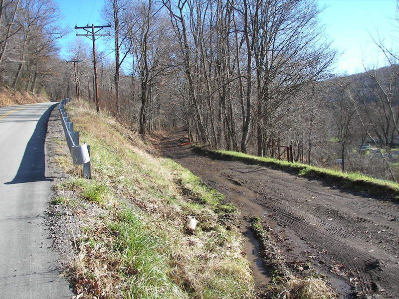
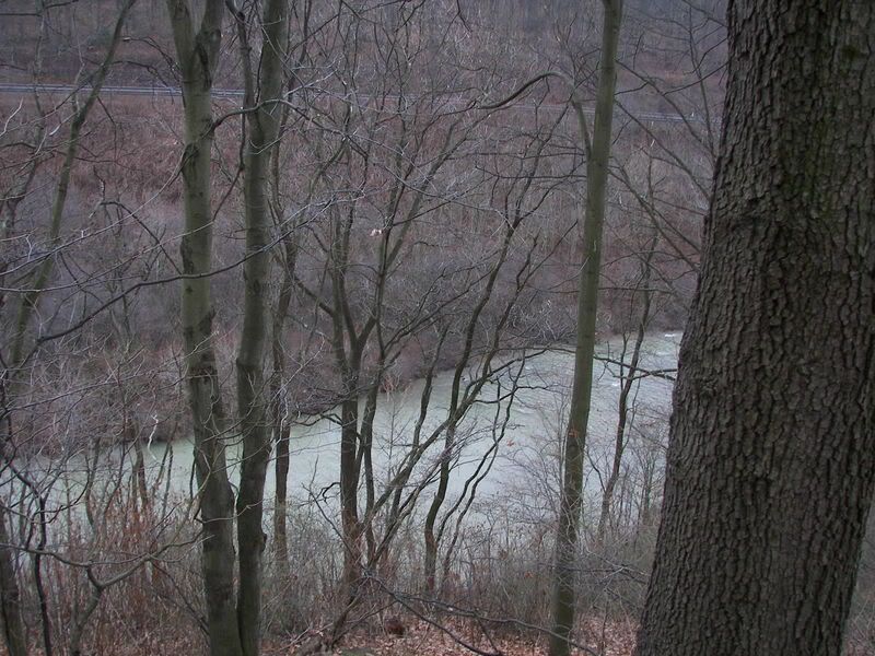
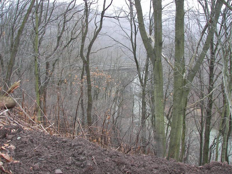
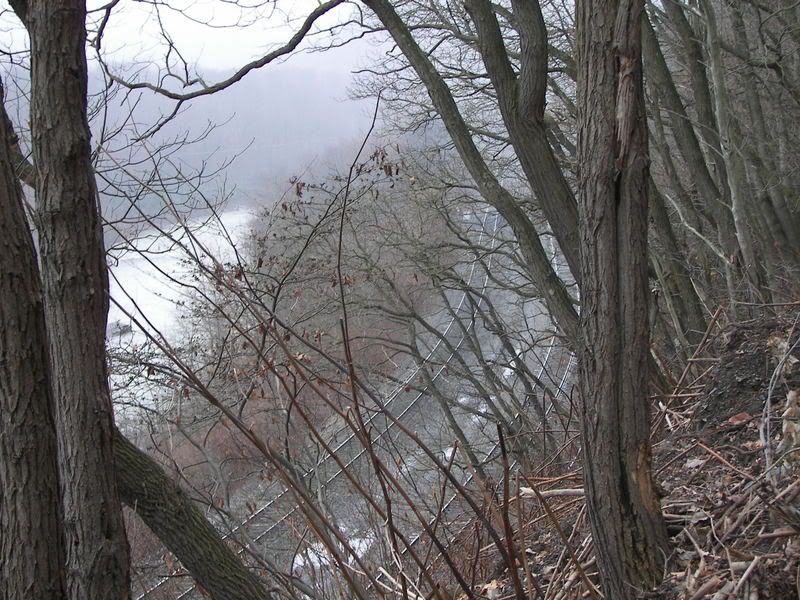
Here is the dam, this is taken from the right of way of the Old South Cambria branch to South Fork NOT the branch Ebensburg the Dam opposes:

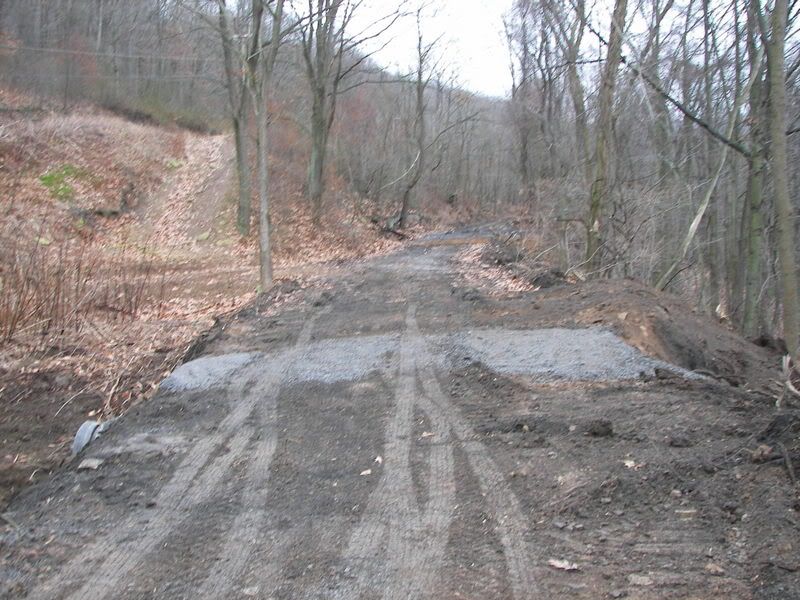
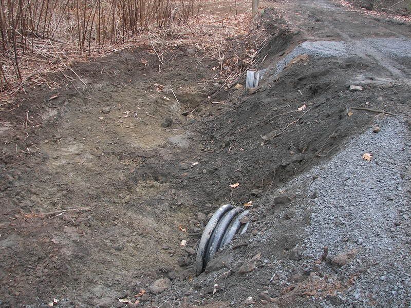
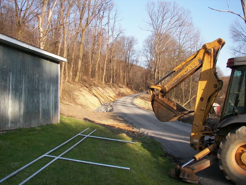
Here is remains of the right of way in Mineral Point (The dam would be to your Left in This Picture). The bulldozed section is beyond the truck in this picture):

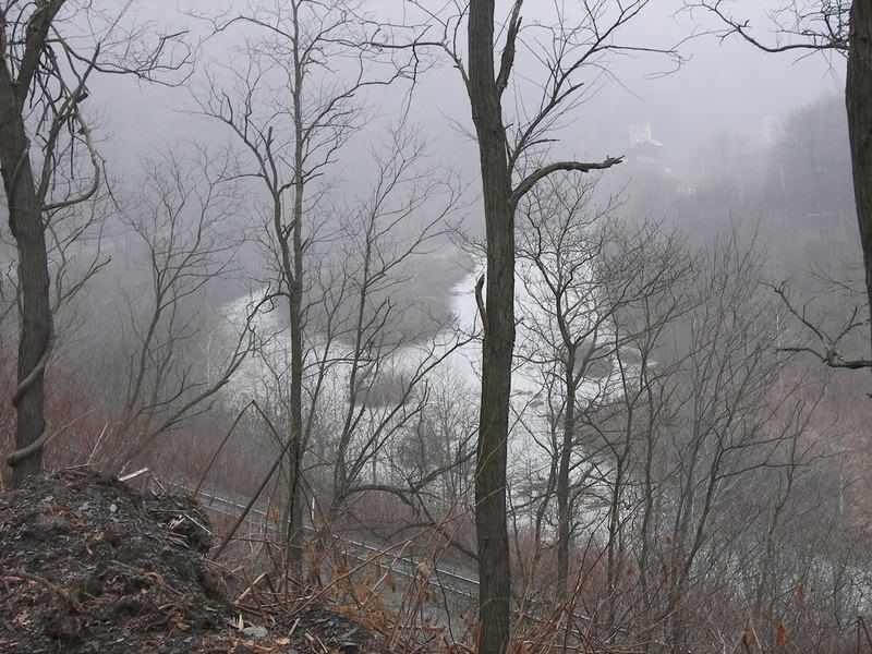
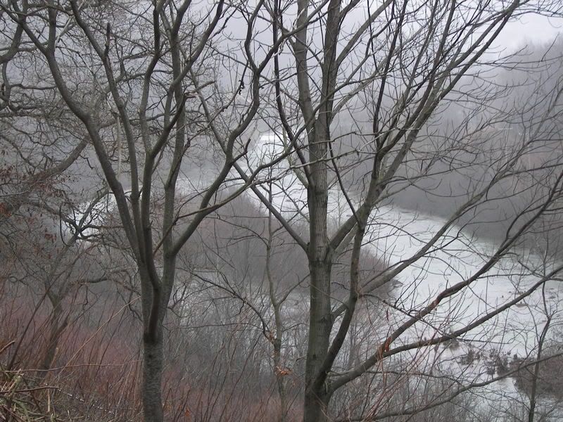
Here is a picture in the opposite Direction, the Dam is now to your right looking at the right of way in the direction of Johnstown:

Neither of the two above section are needed, there is a road from the bulldozed section to the Staple Bend Tunnel. In fact the Road goes UNDER the Main line of the old Pennsylvania Main Line (Now Norfolk and Southern), thus these two sections are NOT needed to have a good bike trail. Mineral point is a very small town with almost no traffic.
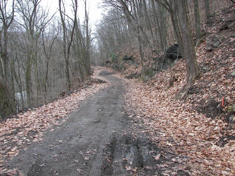
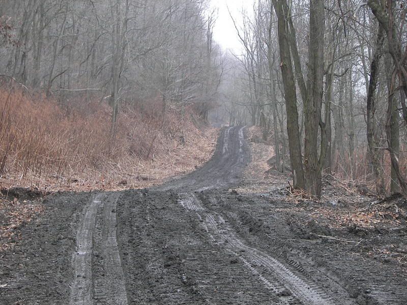
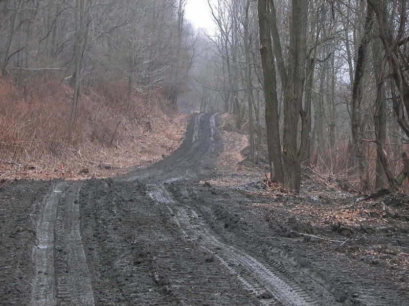
Here is the old Railway line now used by the dam:

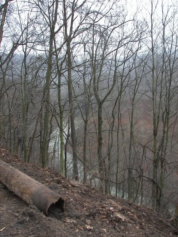
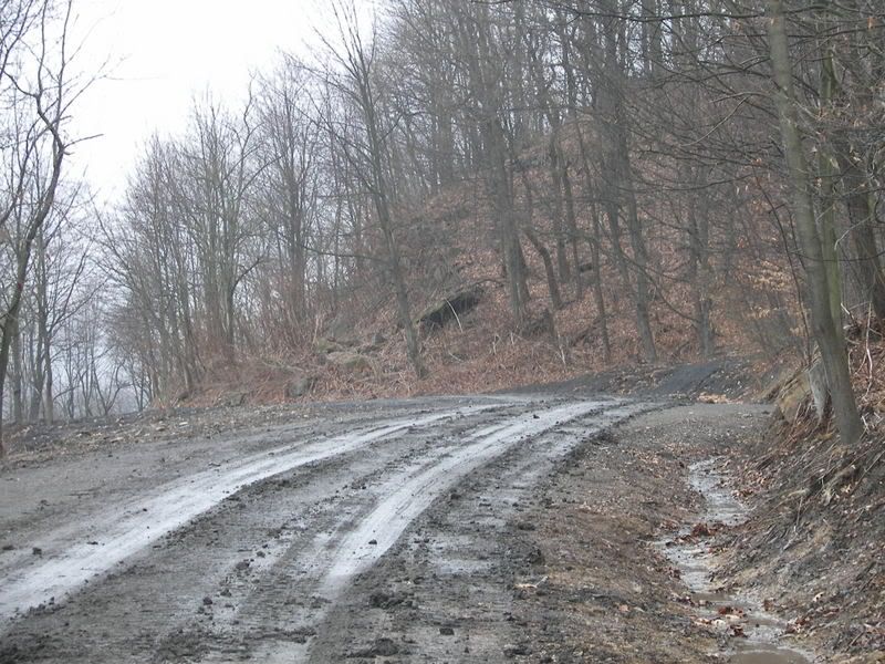
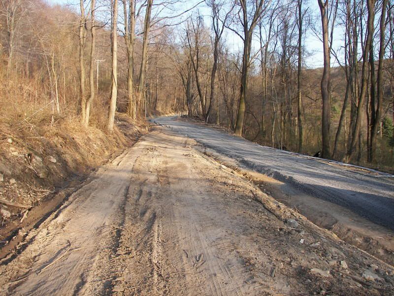
This continues up the mountain, it is down this slope the rail car ran till it hit the other car in 1916 (This picture was taken about two years ago, the rest of these picture were taken today):
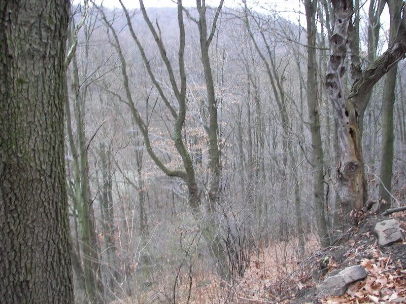
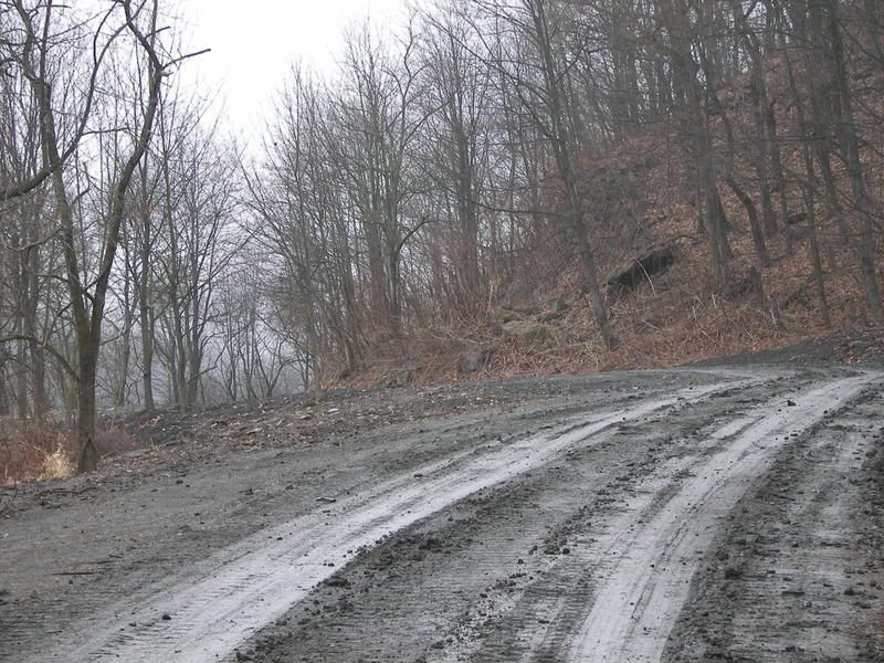
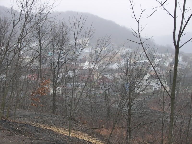
As the line climbs Allegheny Mountain it reaches the area where the lines branched off into two directions, one to Nanty-Glo the Other to Ebensburg:


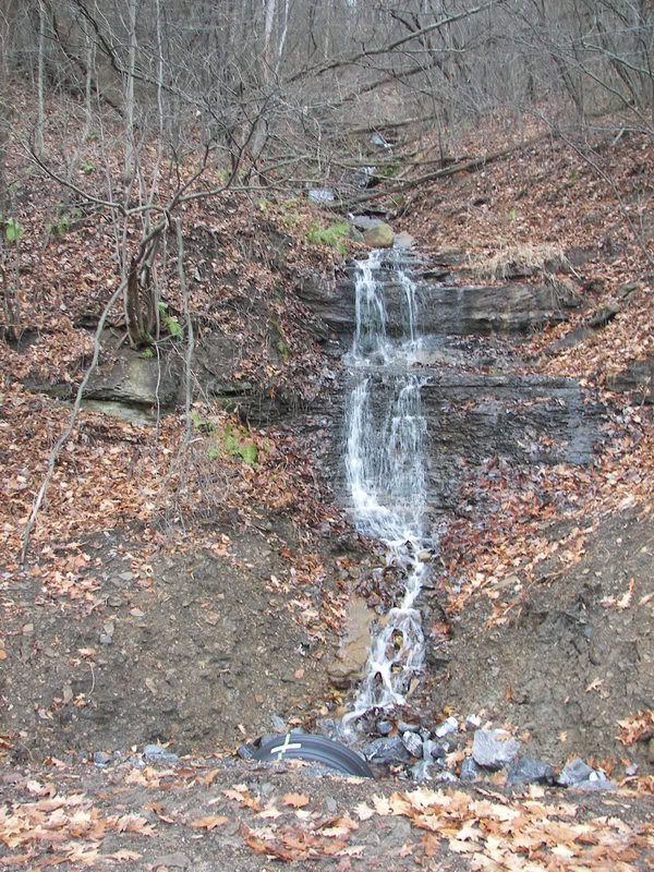
Here is the remains of an old bridge:


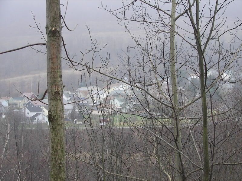
Here is the line going to Ebensburg from this point:

The line continued along what is now called Adams Avenue till Adam Avenue Ends, here is Picture of the line as it continues straight through the woods:

Here is the remains of the trail going through a Private Camping sites:


From the Camping sites the old line now goes to Old Trolley Car Avenue. The last remaining section of the old line is now call "Old Trolley Car Avenue" , it was given that name when Cambria county finally adopted addresses (as opposed to Rural route numbers) as part of the adoption of 911 a few years ago:


The old line continues beyond this point, between 1908 and 1928 it went onward to Ebensburg.
I will provide more picture the next time I ride the route, but with it turning dark at 5:00, it is hard for me to get to the old line. This would be a great line for a bike trail, and if you do not mind going over some rough terrain it is a nice trail (Through for you people who want a "Technical" Ride, this line is NOT for you, Pennsylvania has history of erosion and thus discourage Technical riding anyway. but they are many old coal and timber roads in the are you can try).