General Discussion
Related: Editorials & Other Articles, Issue Forums, Alliance Forums, Region ForumsYikes - Europeans Model Has Irma Heading Into Gulf Region.
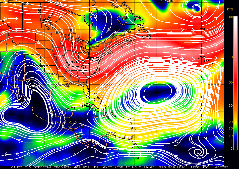
Even though it is still very early for Hurricane Irma to know its path for sure. American models have it veering north. But the European model projects a more southward path that would take it into the gulf region.
What is most worrisome about this storm is that it progressed from a tropical depression to a category 3 hurricane faster than any storm ever before. Weather scientists were surprised by its sudden strengthening.
Let's hope that model is wrong.
 = new reply since forum marked as read
Highlight:
NoneDon't highlight anything
5 newestHighlight 5 most recent replies
= new reply since forum marked as read
Highlight:
NoneDon't highlight anything
5 newestHighlight 5 most recent replies

Glimmer of Hope
(5,823 posts)shanny
(6,709 posts)50" of rain out of Harvey when ours were calling for half that
TheMastersNemesis
(10,602 posts)Another hurricane entering the gulf area is so not thinkable.
roamer65
(36,745 posts)
Warpy
(111,274 posts)have the damned thing turning sharply north, eventually going out to sea.
Good. We need a break.
![]()
B2G
(9,766 posts)Their last run had it wiping out Cape Cod. New one is running now.
Warpy
(111,274 posts)And if it misses the Cape, it'll hit the Maritimes. Have friends there, too.
At least if your ocean front house gets lost to beach erosion and storms on Cape Cod, you have to rebuild somewhere else, farther inland. That's one thing the state did right.
Right now the GFS and Euro are worlds apart. I'm guessing split the difference and the east coast of FL and the Carolinas will have a lot to worry about.
WinkyDink
(51,311 posts)Warpy
(111,274 posts)but that's actually par for the course in September. It's on a major storm track and nor'easters can often be as strong as Cat 1 hurricanes. If Irma gets there, she'll lose a lot of her punch before she does, the warm Gulf Stream goes out to sea off the Outer Banks of NC and hurricanes drop a category or three over the cold water, depending on how fast they're moving.
Still, I have great slides taken after they've hit, mostly of yachts piled up on bridges because the owners didn't bother to come down and rig them for storm tides. Not only were their boats wrecked, they got hefty bills from the harbormaster for any damage they did.
Wellstone ruled
(34,661 posts)accurate. Remember a few months ago,a new Sat was launched to be stationed over the South West. And it was to take a few months before all the links were to be operational.

BigmanPigman
(51,609 posts)Wellstone ruled
(34,661 posts)computing power compared to ours. Every since NOAA was stripped of the Old Weather Channel to a private owner,we have become a second rate Weather forecasting nation. Yup,got to privatize the Weather Forecaster.
BigmanPigman
(51,609 posts)we will rely on other countries' research and data more than ever.
Wellstone ruled
(34,661 posts)Third rate Country with first rate costs.

TexasBushwhacker
(20,202 posts)I don't care if I don't have a job to return to. It's supposed to be Cat 4 by Monday.
Awsi Dooger
(14,565 posts)As a Miamian that's what I'm banking on.
Head north young storm

jalan48
(13,870 posts)
LeftInTX
(25,372 posts)Of course, the longer it tracks south the more likely it will enter the GOM. If the high moves or erodes the storm could move north earlier. 72 hours is a long time from now, things change. It will only be at 50 W longitude on Sunday night.

Demtexan
(1,588 posts)It will push it away from the gulf.